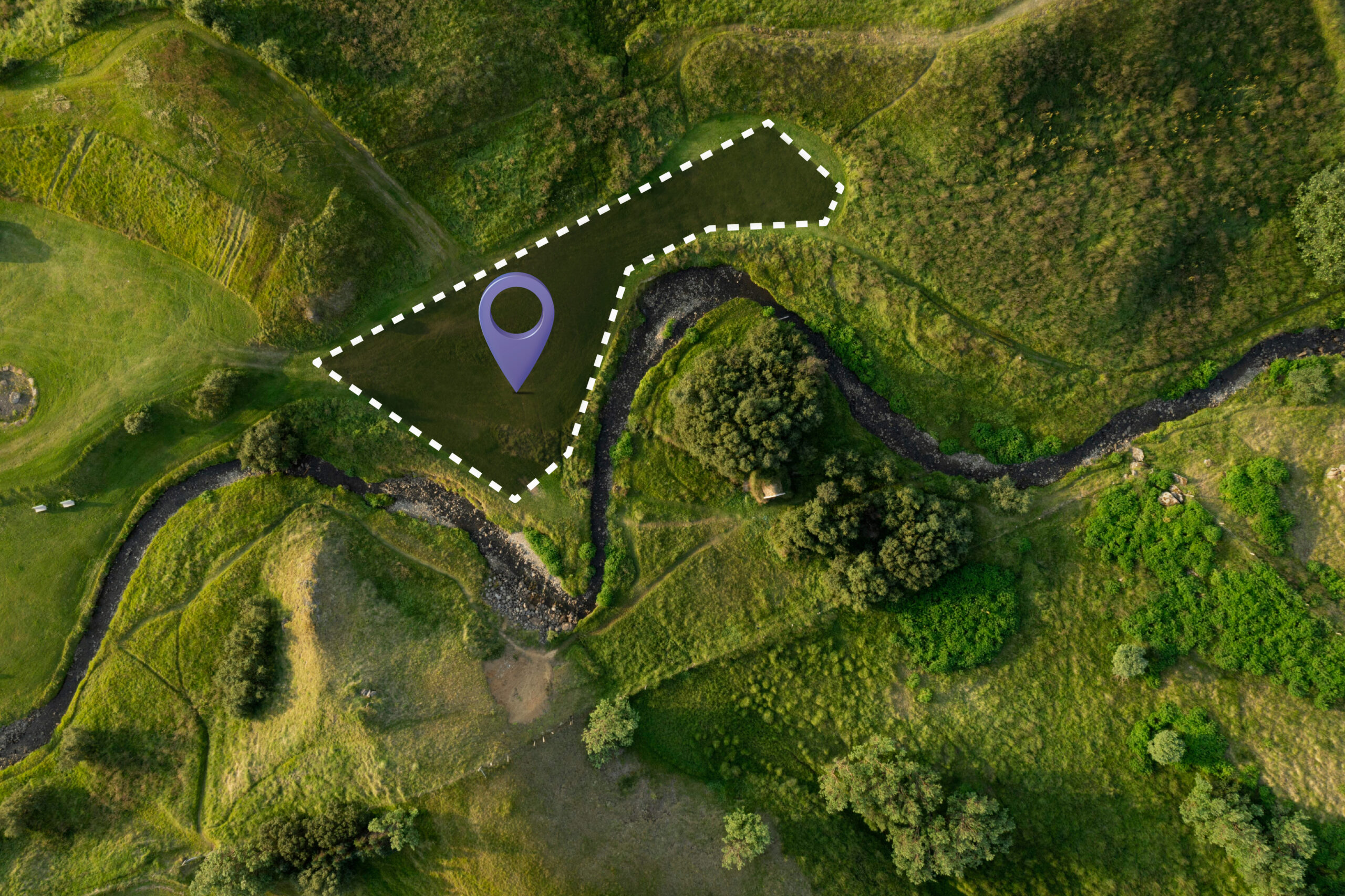
Whether you're working on topographic surveys, property delimitations or construction projects, we can offer you a solution that guarantees pinpoint accuracy for your equipment. Leave no room for error and increase the accuracy of your measurements with centimetric precision. Our systems are robust and reliable, capable of operating in a wide range of demanding conditions.
Our RTK systems don't just provide accurate data; they're also designed to be intuitive and simple to use. What's more, our solutions are designed to be easily implemented in your existing equipment, enhancing your hardware without the need for major modifications. Users benefit from an interface that simplifies the data collection and analysis process. This combination of precision and simplicity makes our solutions an indispensable asset for your surveying projects.
